An ecological survey of the Vale of Avoca conducted this summer found that the Vale still supports a significant mature oak forest, but without active management, parts of the ravine are likely to continue transitioning toward a forest dominated by invasive Norway Maple trees. Norway maples are a particular concern because they suppress growth of the vegetation understory, undermine biodiversity, and in the process contribute to further erosion of ravine slopes. Dealing with Norway Maples needs to be at the heart of efforts for long-term stabilization of the Vale of Avoca.
The work done over the summer months provides valuable inputs to guide the ecological management and restoration of the ravine, while also identifying sensitive ecological areas for reference in future remediation of ravine terrain.
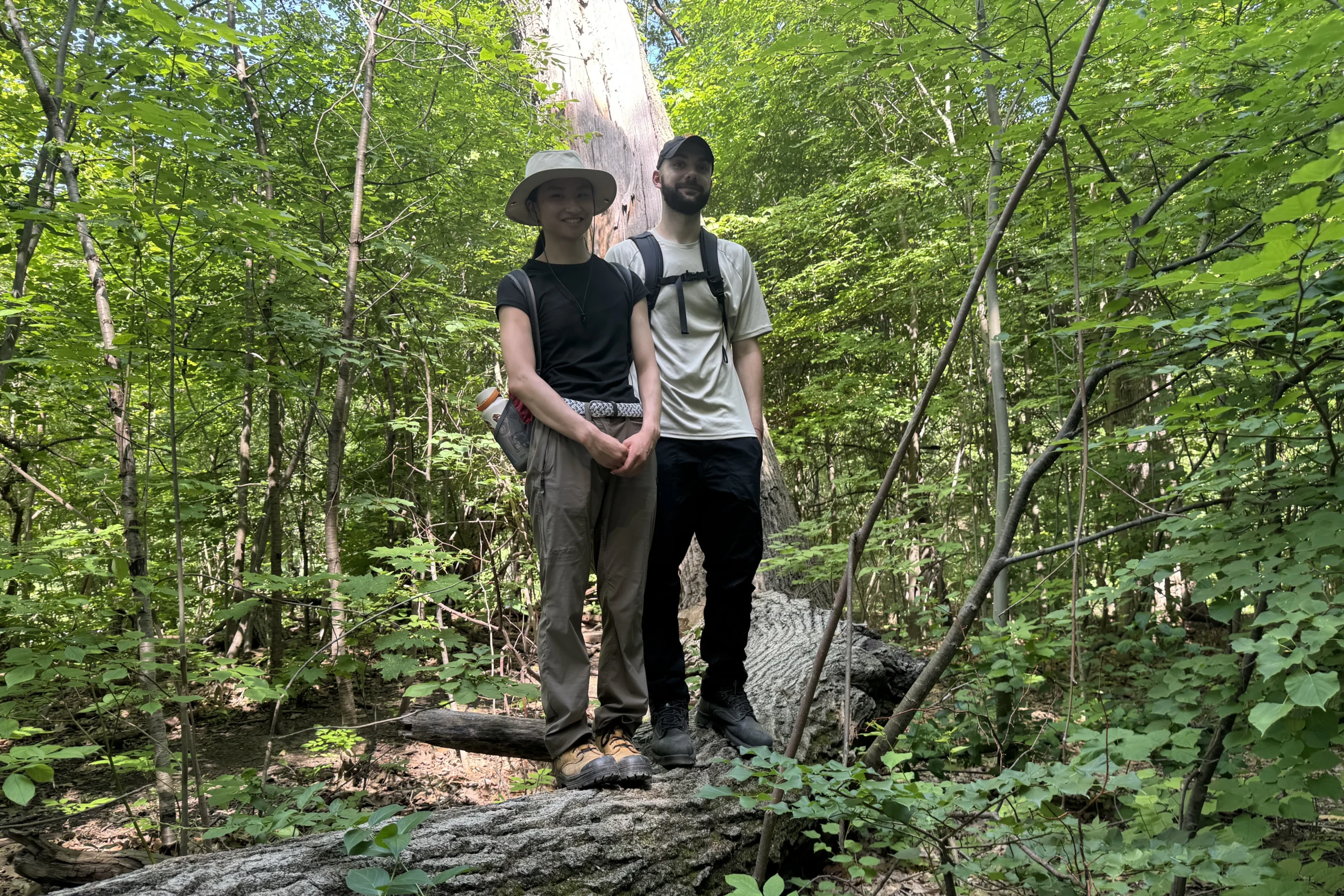
The work was carried out by Madeline Spencer and Nik Voss, who are both graduate students in forestry at the University of Toronto’s Daniels Faculty of Architecture, Landscape, and Design. The work was guided by Richard Laurie and Stephen Smith of Urban Forest Associates (UFORA). Stephen, the founder of UFORA, has carried out work in the Avoca ravine for over two decades and offers a valuable historical perspective on long-term changes in the area’s tree and plant populations.
The project was sponsored by Midtown Ravines Group with a number of aims. Primarily, the work provides a current inventory of the area’s plant populations as an input to the development of an integrated plan to address the degraded condition of the ravine overall. The work will also provide a useful foundation for an official long-term management plan for the Vale of Avoca Environmentally Significant Area (ESA). Thirdly, the work will inform educational and volunteer stewardship activities that provide an important avenue for community engagement.
The project had a number of components, including:
- Updating the 2013 ecological land classification (ELC) of the Vale, dividing the ravine into mapped vegetation polygons based on forest type, dominant species, structure and ecological condition.
- Reviewing and refining 2013 ELC polygon boundaries and compared 2013 conditions to 2026.
- Completing basal area prism sweeps throughout the ravine to provide a quantitative understanding of forest composition and relative dominance of different tree species.
- Collecting information on approximately 1,000 trees through the prism sampling.
- Identifying, mapping and measuring 280 trees of interest including roughly 180 oak trees.
- Mapping major invasive plant populations and areas where invasive species are having a significant influence on forest composition.
- Documenting spring ephemeral areas, species presence, mature/significant trees and other ecological features across the site.
The project team relied on a number of techniques that are largely unfamiliar to casual ravine visitors.
- Polygons are used to define subsections of an area of interest. These irregular shapes have precisely defined boundaries, and take whatever shapes are dictated by the plant distributions and terrain. This can be contrasted to say, a regular grid system, that might be applicable for other survey projects.
- Ecological Land Classification (ELC) was used to divide the ravine into vegetation polygons based on factors such as dominant tree species, forest structure, understory vegetation and overall ecological condition. This allowed different forest communities to be mapped and compared across the site. The ELC framework is used province-wide and has standard labels for different combinations of factors.
- Prism sweeps were used to quickly assess forest composition and basal area within these polygons. Using a forestry prism (a hand-held glass precision instrument), trees are sampled based on their size and distance from a survey point. This provides an estimate of how much of the forest is occupied by different tree species. This helped identify patterns in species dominance, including the relative contribution of native trees and invasive species such as Norway Maple.
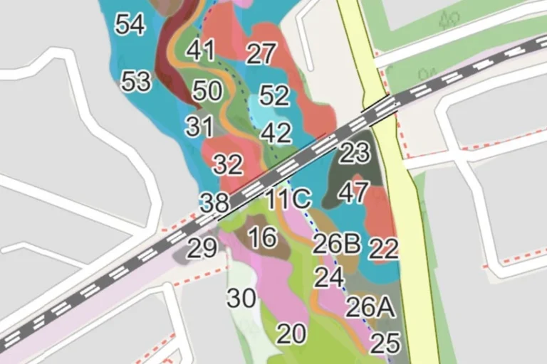
Some of the Avoca polygons in the area near the rail bridge
The study generated a number of findings. One of the clearest concerns is the continued transition of the ravine away from native oak-dominated forest toward Norway Maple and other invasive/non-native vegetation. Since 2013 many of the Norway maple polygons have expanded into neighbouring ELC communities. Currently Norway Maple is the dominant tree species sitting at 57.1% of trees per hectare within the ravine.
Mature oaks remain an important component of the Vale, but there appears to be limited oak regeneration in a number of areas. Notably the oak trees are gradually dying off and being replaced with the faster growing, invasive Norway maples. Without active management, we may lose existing oak stands to the Norway maple expansion. Norway Maple is already a major component of the forest in several areas and, because of its abundance in all stages of the forest, it has the potential to become increasingly dominant over time if not properly managed. Other key sensitive species exist within the ravine and may be impacted by growing stressors if not properly managed.
Invasive species are not distributed evenly across the Vale. The mapping identified areas where management could be prioritized to protect higher-quality native vegetation and reduce further spread. Invasive species are concentrated in high traffic and disturbed areas such as trails, roadways and the creek edge.
Overall, the work provides a much more detailed baseline of current forest conditions that can be used to guide restoration, invasive-species management and long-term monitoring.
The Midtown Ravines Group is grateful to Madeline and Nik for their efforts throughout the summer, as well as to Richard and Stephen for their substantial engagement on this project.